
 My only other trip to the top via Rainbow Falls had been in the winter, and she had never been before. Once we got past the falls, the remaining 4 miles were a new adventure.
 Instead of covered in snow, like my previous visit, the loose rocks affected the stability of our footing. The path seemed to be covered in many places, as if it were a dry creek bed.
With the air warm and humid, we stopped several times along the way up for snacks and water, but left the majority of our lunch for the picnic tables just outside of LeConte Lodge.
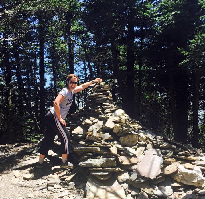
We stopped to add our rocks to High Point. As the name suggests, its the highest point on LeConte. I'm sure the same rocks get added and fall off all the time, but its a fun way to commemorate each trip up to the top.
The path continues even further, now traveling at a slight decline to get to Myrtle Point. From the lodge and our chosen route to the top, the point about three quarters of a mile (one way) further and worth every step.
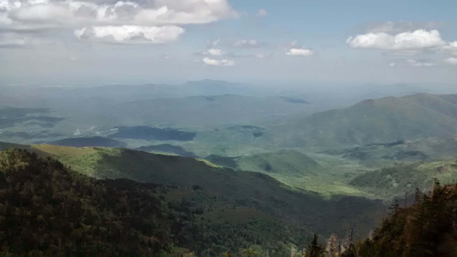

We took in the view, relaxed, then goofed around and got some pictures.

As always, this photo isn't what it seems. My legs were hidden, laying on a rock just below the rock which I am grasping. If it were truly dangerous, pictures like this wouldn't be entertaining, they'd be foolish.

I could have stayed up there all day, but we had another 7 miles to hike to get back to the car. Begrudgingly, we packed up and headed down the trail.
 Safe to say, the rest of the afternoon was downhill from there. Tee hee. See what I did there? During the winter Bull Head is reported to have good views, and I could see slivers through the trees on Monday. However with the trees and bushes ready for summer, they were more "stop and look" views, rather than those which could be appreciate in passing.
We ended up covering 14 miles in just over 6 hours, making for an excellent holiday.
That was quite a hike - and so pretty! Glad you aren't being foolish - I didn't think you would be!
ReplyDeleteThis comment has been removed by a blog administrator.
ReplyDelete